Other Map Layers
Understanding Additional Map Layers in FowlTracker
In addition to the Waterfowl Activity layer, FowlTracker provides a set of weather and environmental overlays to help you plan your hunts more effectively.
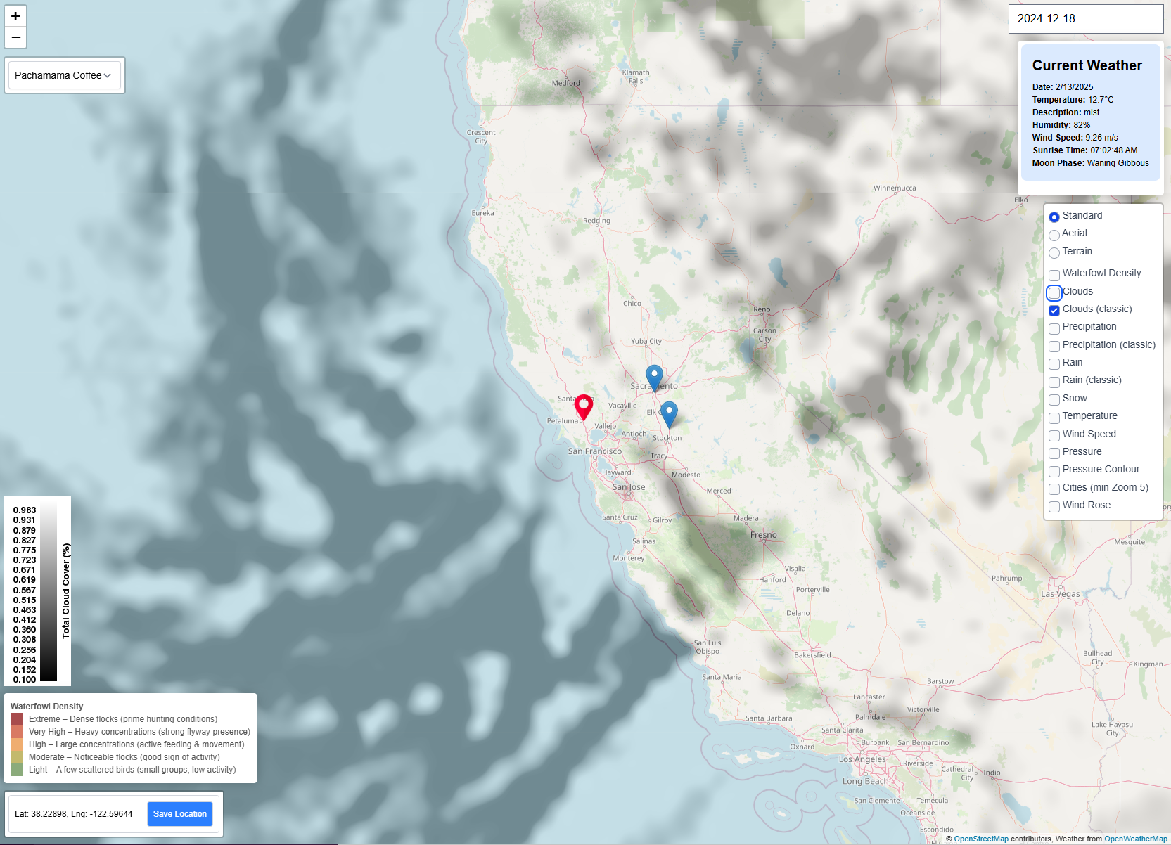
Cloud Cover
The Cloud Cover layer shows the percentage of cloud coverage in your area. This is useful for:
- Predicting bird movement based on light conditions at dawn.
- Understanding how overcast skies might affect bird visibility and decoy effectiveness.
- Scouting ideal conditions for silhouette contrast and concealment.
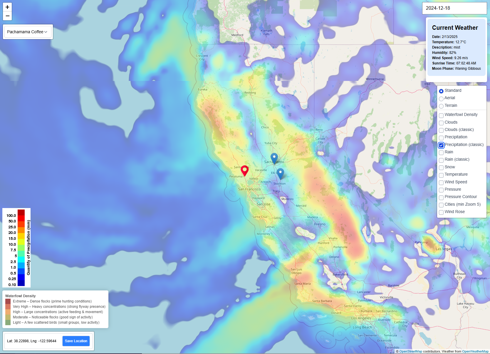
Precipitation (Rain & Snow)
The Precipitation layer shows where it’s currently raining or snowing. This layer helps you:
- Anticipate weather-driven shifts in roosting behavior.
- Track storms that might trigger migration pushes.
- Prepare for wet field or icy access conditions.
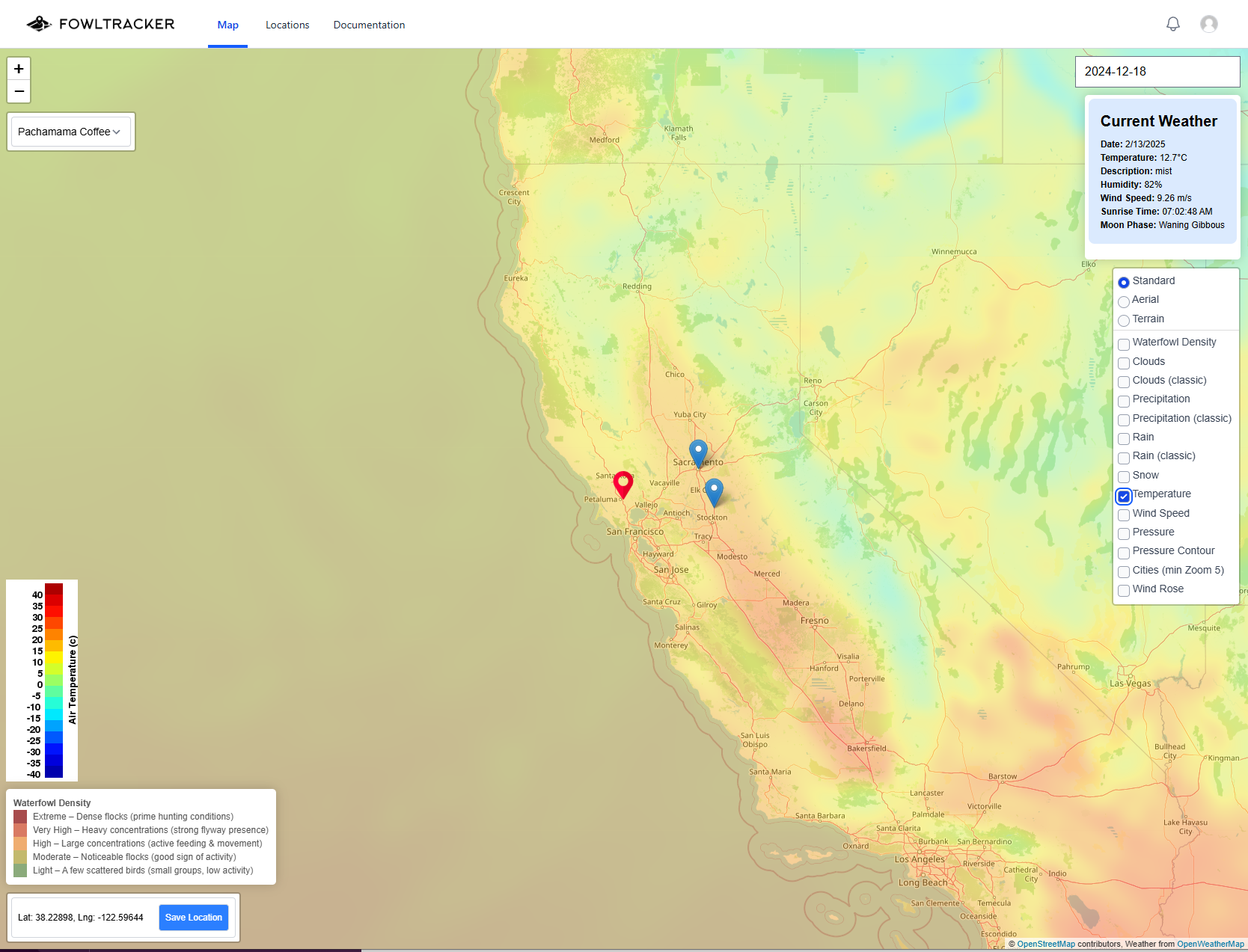
Temperature
The Temperature layer shows real-time surface temperatures across your area. Use it to:
- Monitor freeze conditions that affect water access and roost availability.
- Gauge when cold fronts may trigger new bird movement.
- Plan clothing and gear for changing weather conditions.
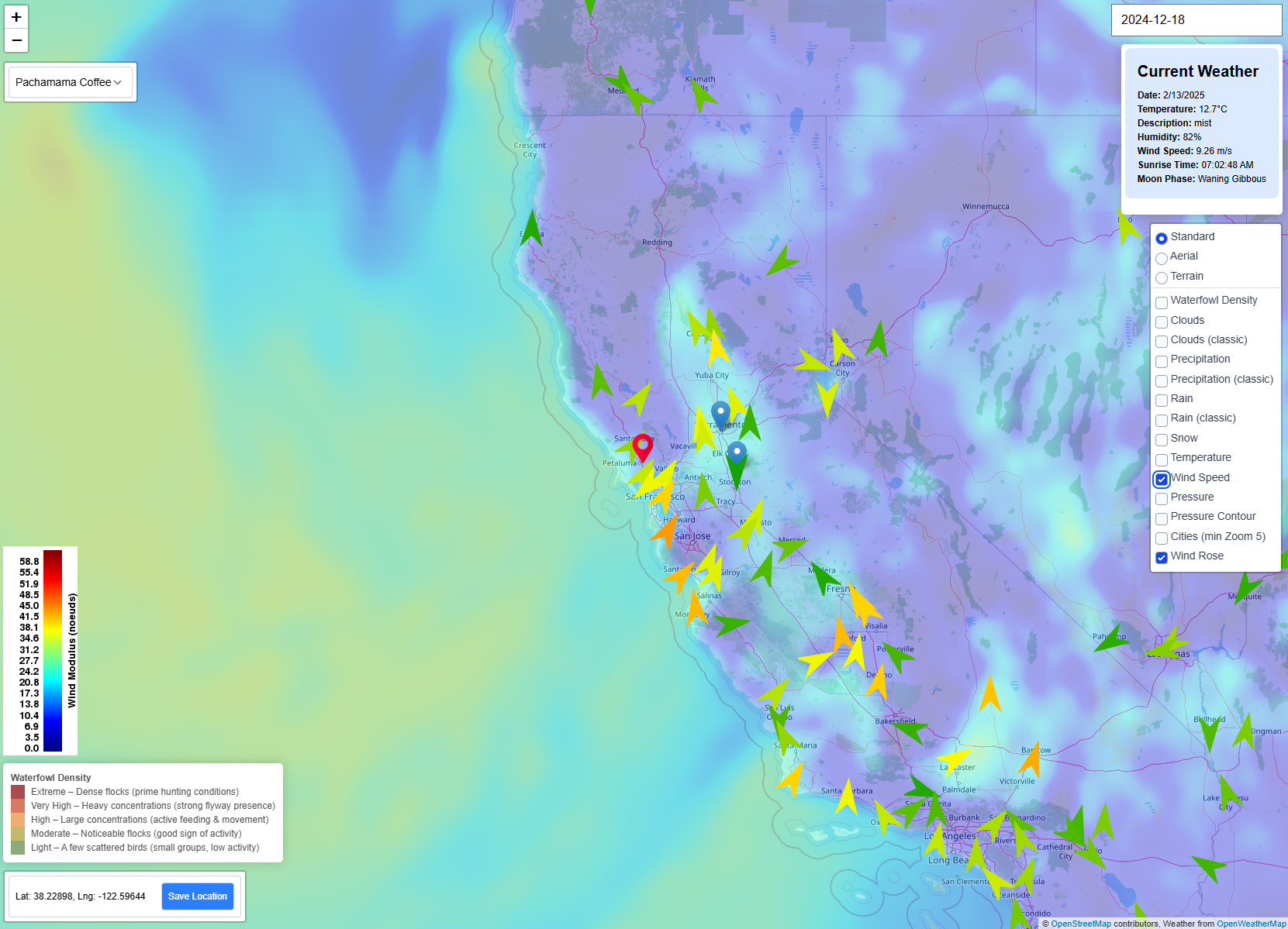
Wind Speed & Wind Rose
The Wind Speed and Wind Rose layers show real-time wind conditions. These are critical for:
- Determining likely flight paths and landing approach directions.
- Setting up decoys and blinds with proper wind alignment.
- Adjusting shooting lanes for stronger or shifting winds.
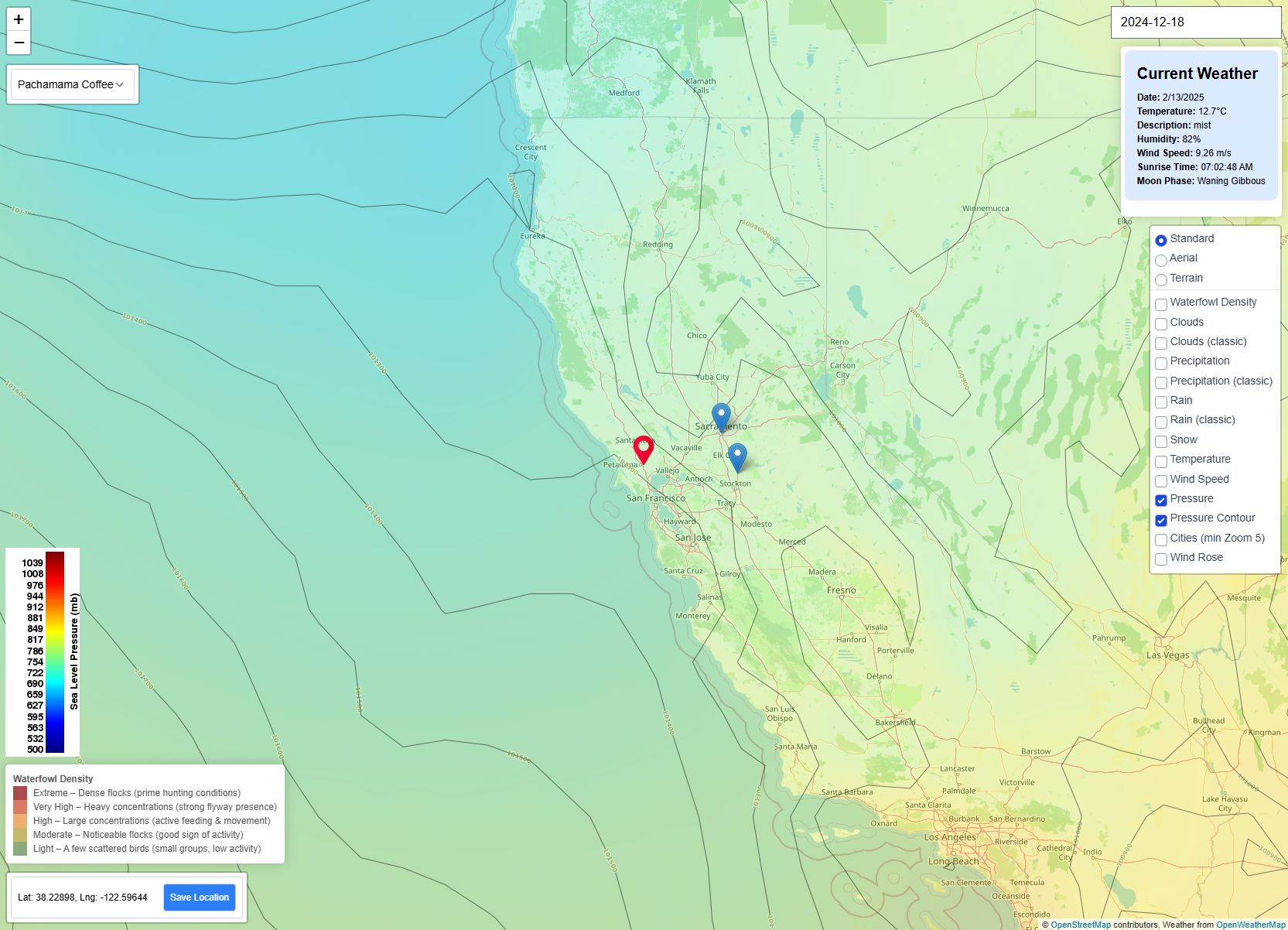
Pressure & Pressure Contours
The Pressure and Pressure Contour layers show atmospheric pressure trends. These patterns can indicate:
- High-pressure systems—usually tied to clear skies and settled birds.
- Low-pressure systems—which often precede increased movement or storm-driven flights.
- Shifts in pressure that align with big migration days (“push” days).
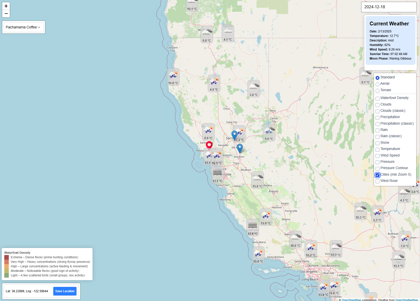
Cities & Urban Areas
The Cities overlay adds real-time environmental data for urban centers near your hunting location, including:
- Current temperature, humidity, and wind conditions.
- Rain, fog, haze, and other weather phenomena.
- Barometric pressure and timestamped updates.
This is helpful for tracking weather changes in nearby towns that may influence hunting conditions at surrounding public or private land access points.